On Saturday (1/23/22), we found a reprieve from the ice by checking out Bauneg Beg Mountain Conservation Area (BB), a Great Works Regional Land Trust property that is comprised of a two-ish mile trail system featuring the three-peaked 866' Bauneg Beg Mountain.
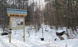
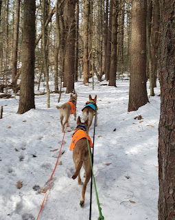
So the ladies and I started up the trail around 11:00AM. The small lot (room for 5-6 cars) was full so we tucked in on the side. There are two entrances for BB: the main lot on Fox Farm Hill Road and a pull off with space for about two cars on Bauneg Beg Hill Road.
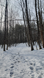
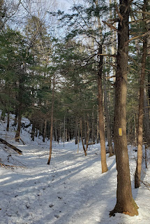
After a short and avoidable section of boiler plate ice at the beginning, the Bauneg Beg Trail hooks left and wanders gently upwards along a wide path through open woods. While less that 25 minutes from home, where all of the trails are covered in ice, I was stoked to learn BB offered perfect packed powder conditions.
 |
| Beginning of Bauneg Beg Trail |
 |
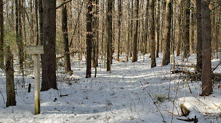
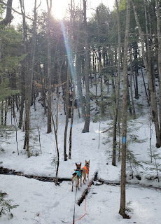
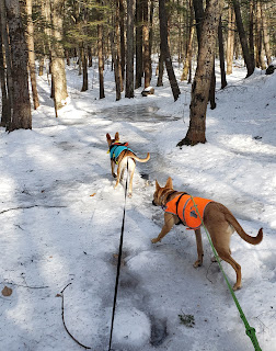
| Bauneg Beg Trail |
We took the right onto North Peak Loop and reached the summit in just a few minutes after walking through a small pine stand, a stone fence, and into a small clearing with a cairn.
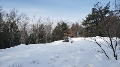
From there, we followed the trail as it zigged and zagged to the next intersection where we kept (slight) right onto Linny's Way and scaled a very short but rocky ascent to Middle Peak. It's a nice spot for a break and limited view. The trail description states the Whites can be seen on a clear day.
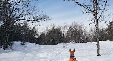
 |
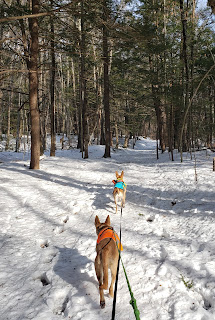
| A nice view of where we're heading |
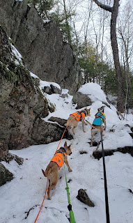 |
| Up! |
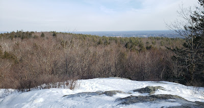 |
| And the top |
Just past the lookout is the next intersection, where one can choose to head down Tom's Way towards the secondary entrance or loop back towards the main entrance via Ginny's Way.
We ran down Tom's for the sake of exploration. It was fun, less travelled, and similar to the other trails in the way it twisted through the woods.
 |
 |
| Ginny's Way after descending Middle Peak |
 |
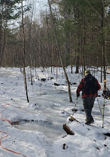
| Ice patch ahead |
 |
| Ginny's Way meeting back up with Bauneg Beg Trail |
Overall Impressions
Trail Map

FMI: